The natural area of the site of community importance ROSCI0228 Şindriliţa is located in a wild area on the western side of Vrancea County (close to the border with Buzău and Covasna counties), on the territory of Nereju and Nistoreşti communes, near the county road DJ205D, which connects Paltin and Nereju Mic villages. The site area is 870 ha and, on the territory that overlaps a forest basin consisting of fossil mountain detritus covered by spruce and fir trees, there is also the area locally called “șindriliţa – Afinişul”, with habitats rich in grasslands and compact areas with blueberries.
From a geological point of view, the whole site overlaps the flysch area of the Curvature Carpathians, similar to the Eastern Carpathians (with a geological structure formed by alternating sandstones, shales and clay), to which the bituminous flysch is added, fractured into faults, of which the most important one, Zăbala, continues with the fault of Focșani – Nămoloasa – Galați – Tulcea. All these features determine a landscape with soft line mountain peaks and slopes of 20°-30°. In addition, the protected area overlaps the highest seismic activity area in Vrancea, with a mainly tectonic origin of the earthquakes, an epicenter depth of 70-80 km and 170-200 km and a maximum Richter magnitude of 7.5 (October 26, 1802).
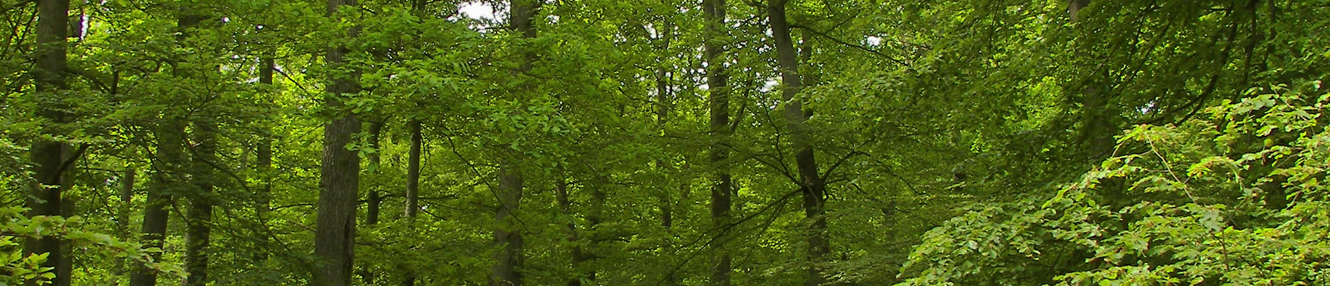
The most widespread soils in the Vrancea Mountains are cambisols, brown-acid soils, therefore the vegetation consists mainly of beech forests with mixed conifers in lower areas and coniferous forests in higher areas (over 1400 m).
Regarding hydrology, the rocks forming this mountainous region are rigid or semi-rigid, therefore with little permeability (low infiltration), so precipitation drains from the slopes and flows into the rivers (the main hydrographic artery being Zăbala river). For this reason, there is a risk of floods and drought and underground waters are characterized by high and constant flows, in some areas turning into mineral waters, enriched with salts of 0.5 g/l concentration.
The mountain climate of the area is specific to peaks and low massive mountains, with relatively low temperatures, high humidity and high amount of precipitation, extended periods of frost and rime, frequent temperature inversions and dangerous meteorological phenomena.

